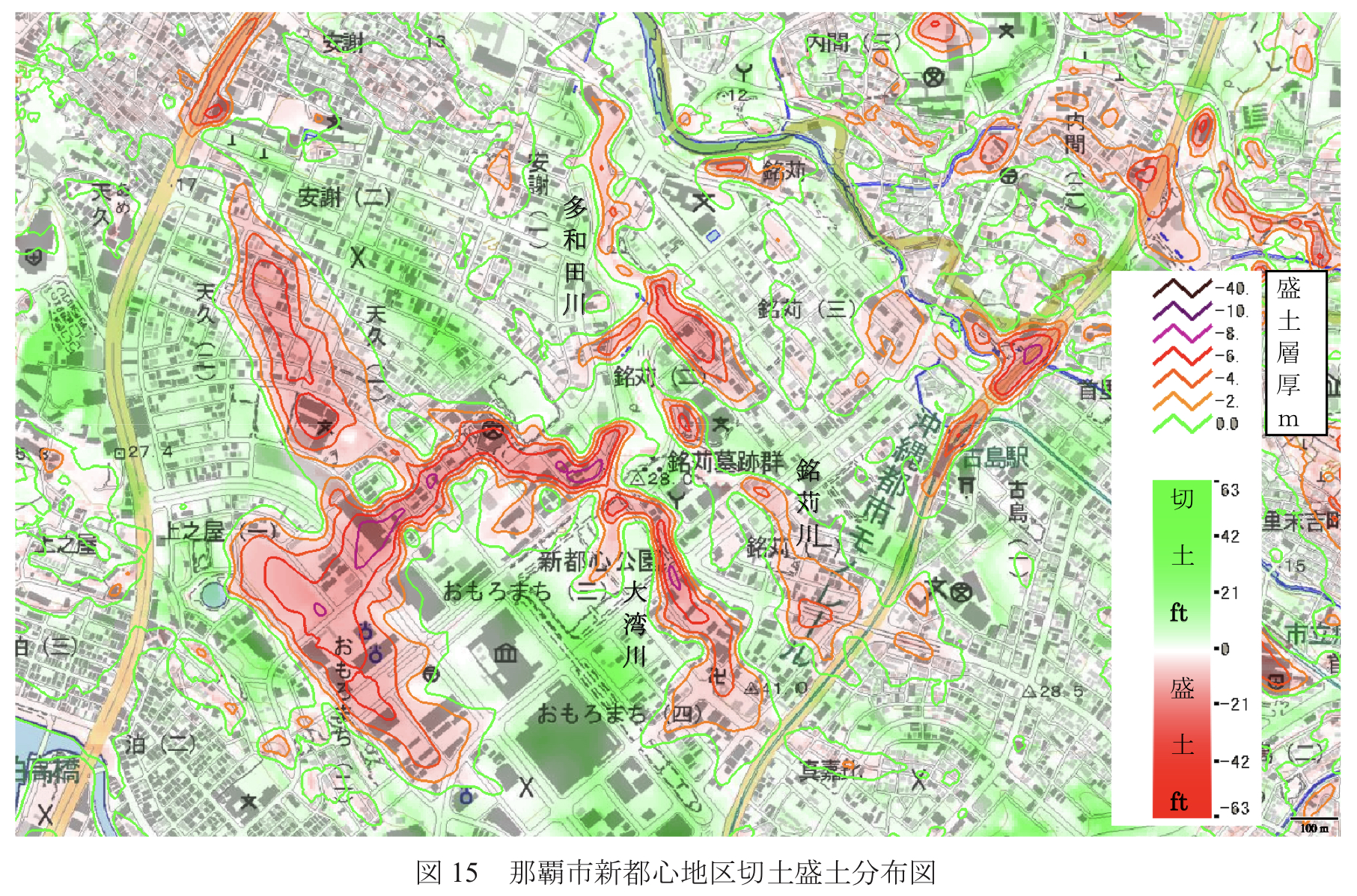
Abstract: This study examined an efficient method to generate extensive grid elevation from U.S. military-produced 1/4800 topographic maps and found this approach to be beneficial. The wide-ranging cut and fill earthworks were derived from the difference between this grid elevation and the current topography, enabling an understanding of the terrain modification. The geologic value of the U.S. military-created 1/4800 topographic maps in the central-southern region of Okinawa Island is notably high. It is believed that the grid elevation from these topographic maps can be utilized not only for terrain analysis but also for disaster prevention and environmental analysis. (ChatGPT)
Abstract: In this study, a method for efficiently generating broad grid elevations from 1/4800 topographic maps prepared by the U.S. Army was investigated, and the method was found to be useful. The topographic modification status of the landforms was determined from the difference between the grid elevation and the field profile of the landforms. The grid elevation of this topographic map can be used not only for topographic analysis but also for disaster prevention and environmental analysis. (DeepL)

コメント